


Source: http://vuste-envis.eu/kompas.jpg
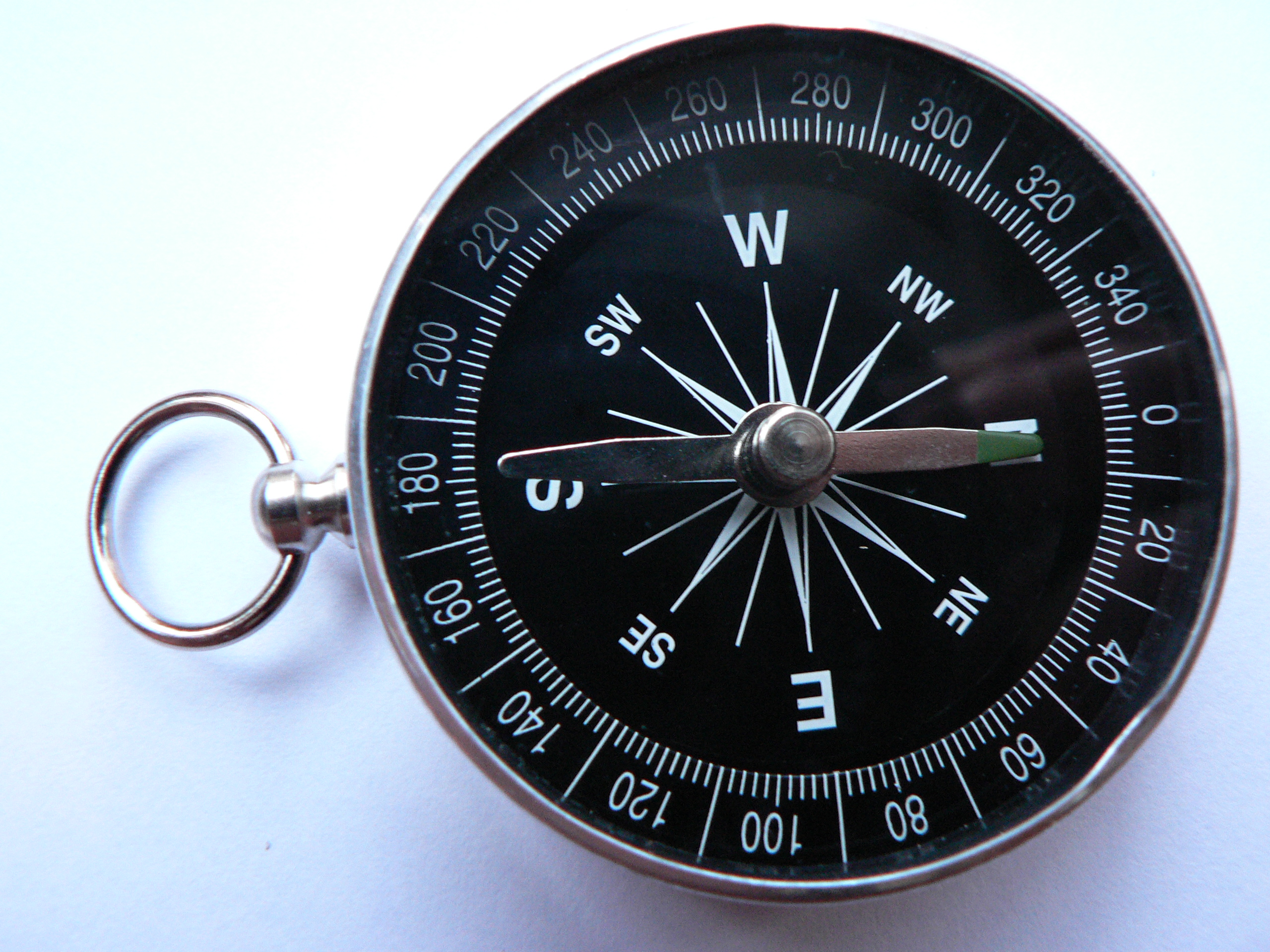
The wind rose*, and also compass rose or Star Cross) is a graphical representation of the cardinal directions.
The rose symbol marks the major world directions
• N (north)
• S (south)
• E (east)
• W (west).
*) Wind rose, because when shipping, it is used most commonly for determining wind direction.

Sometimes intermediate (intercardinal, or ordinal) directions
• Northeast NE (northeast)
• Southeast SE (southeast)
• Southwest SW (southwest)
• Northwest NW (northwest).
Source: http://thumbs.dreamstime.com/thumb_430/1250760114nl7608.jpg
The compass rose contains a scale from 1 ° to 360 °. The scale is used to read the azimuth, which is deducted from the north clockwise. For example, the northeast winds equivalent to 45 °, 315 ° corresponds to the northwest, etc.
Source: http://en.wikipedia.org/wiki/File:Kompas_Sofia.JPG
The four-armed wind rose (Star Cross) in a ring is a symbol of the North Atlantic Alliance, or the manufacturer of chocolate confectioneryOrion. An eight-armed rosette appears on the symbols of the World Meteorological Organisation.

Source: http://cs.wikipedia.org/wiki/Soubor:NATO_flag.svg

Source: http://www.impuls.cz/data/photo/22848.jpg

Source: http://cs.wikipedia.org/wiki/Soubor:Flag_of_the_World_Meteorological_Organization.svg
Coordinates, distance and altitude on Earth
It may appear that it is very easy to measure the distance or determine the location or elevation, however the opposite is true.
Determining of geographic coordinates
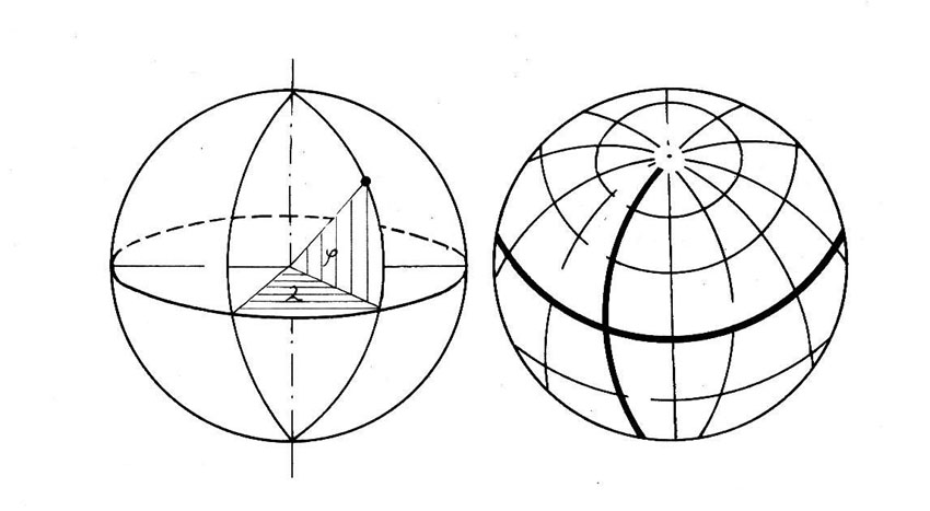
The Earth is of an irregular shape that is even remotely close to the ball. The shape of the Earth is best described by a figure called geoid, which unfortunately is also irregular, and the determination of the coordinates is not suitable. In practical calculations, therefore, the geoid is replaced by a rotating ellipsoid, which is less accurate but mathematically describable.
Source: http://www.math.hmc.edu/~gu/curves_and_surfaces/surfaces/ellipsoid.gif
There are many Suitable ellipsoids. Today, our most used system is WGS 84, according to which the majority of GPS navigation devices determine the coordinates. The Equatorial radius of the WGS 84 ellipsoid is 6378.134 km, the polar radius is about 21.3 kilometers smaller.
The place where the compass rose is placed has the followinggeographic coordinates:
50 ° 04’35, 4 „North (latitude)
12 ° 21’46, 1 „East (longitude)

Source: http://web.quick.cz/aalerej/delka%20sirka.JPG

Source: http://files.epo-team.cz/200000270-aaf55acb18/zemekoule.jpg
Measuring distances
If we use an ellipsoid to calculate the distance (instead of less accurate balls or irregular geoid), we must always take into account that there will be some deviation from reality. If we want to gain ground distance, the error is even increased by inequality of the Earth’s surface.
Using the WGS-84 ellipsoid we can calculate the air distance from the centre of the direction rose to selected points of interest
as well as the azimuth of the latter:
• Roland Fountain – King George of Podebrady Square 0.63 km, azimuth 67 °
• Hall of train station in Cheb 1.3 km,
azimuth 101 °
• transmitter at Zelená hora 4.0 km,
azimuth 259 °
• Old Town Square in Sokolov 22.9 km,
azimuth 59 °
• Hot Spring in Karlovy Vary 40.6 km,
azimuth 66 °
• Wenceslas Square, Prague 148 km,
azimuth 89 °
• the shortest distance to the Equator 5,549 km, azimuth 180 °
• North Pole 4,453 km, azimuth 0 °
• South Pole 15,551 km, azimuth 180 °
Altitude
It is the zero level that plays a key role in determining the altitude. It mostly comes from the world ocean level. In different times and parts of the world there were different levels of seas and oceans used. In the CR altitude was determined by the Adriatic Sea until the mid-20th century. For over 50 years, it has been measured according to the Baltic Sea. Elevation in the Baltic system is less than half a meter lower than in the Adriatic. Currently, efforts are underway to reach worldwide unification of systems based on the altitudes of satellite measurements.
The altitude of the directional rosette is 459 m above sea level
For comparison, we present further examples of altitude:
• Roland Fountain – King George of Podebrady Square 457 m above sea level
• the water level in the Ohře river within Krajinka site 437 m above sea level
• entrance to the train station 465 m above sea level
• Zelená hora peak 637 m above sea level
• Komorní hůrka peak 503 m above sea level

